Walk the docks at The Point on any weekend this summer and you'll notice something the lake-wide drought headlines don't capture. A boat tied up on a point lot facing the main channel backs out at nine in the morning with two feet of clearance to spare. Three coves over, a neighbor with a deeded slip in a quiet inlet is walking down to the marina instead, because the water behind the swim platform has gone from lake to mud flat since June.
Same neighborhood. Same drought. Two completely different boating seasons, and the difference has almost nothing to do with luck. It has to do with which piece of The Point's 18 miles of shoreline your slip happens to sit on.
How Low Is Low This Year
Duke Energy manages water levels across 11 lakes in the Catawba-Wateree River Basin, including Lake Norman, and the utility has kept the system under a Stage 1 drought advisory since spring, holding recreational releases back to preserve drinking water for the roughly 2 million people who depend on the basin. In April, WBTV reported the lake was running two to three feet shallower than the previous five Aprils had averaged, with four boat ramps closed at Blythe Landing because the water had receded too far for safe launching. By mid-June, QC News had Duke's gauge reading around 95 feet, five feet under the 100-foot full-pond elevation the utility uses as its planning benchmark. That gap held through the Fourth of July, when persistent dry conditions kept the lake roughly five feet below normal and Ramsey Creek Beach sat out its entire season rather than opening for the holiday crowd, according to reporting picked up by The Cool Down.
Full pond, worth knowing if you've never had reason to look it up, isn't a literal depth measurement. It's a relative reference elevation Duke Energy and its engineers use to track lake volume, and as Carefree Boat Club explains, the 2026 boating season opened with levels as much as four feet below that target on Lake Norman. The number moves. What matters is what it does to the water under your dock.
Why the Cove You're On Matters More Than the Number on the Gauge
Here's the part the daily lake-level report leaves out. A drop that reads as a uniform five feet on Duke's gauge does not distribute evenly across the shoreline. Main channel water, which runs deeper to begin with, absorbs a five-foot drop and mostly stays boatable. Coves and back inlets do not get off that easy. As Carefree Boat Club puts it, these areas are the hardest to read during low water because their bottoms slope gradually and a cove that holds six feet at full pond can shrink to two or three feet once the lake comes down.
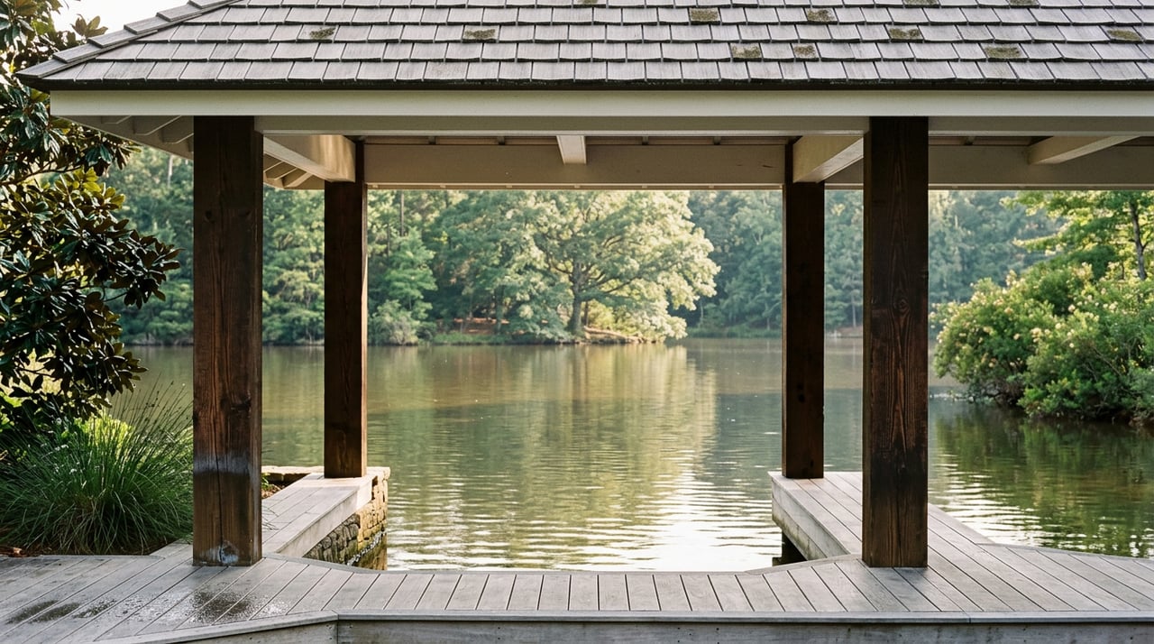
That distinction lands differently at The Point than it would almost anywhere else on the lake, because The Point is built around exactly that kind of shoreline variety. Homes here sit on a mix of open-channel points, protected coves, and everything between, with deeded slips positioned anywhere from a short walk off the back porch to a short drive down to the community marina. It's the same variety that makes lots here desirable in an ordinary year. In a drought year, it's also what turns one lake-wide number into a dozen different backyard realities.
If your slip sits on exposed water, you've probably barely noticed the drought beyond a slightly longer walk down the dock ramp. If it sits tucked into one of the quieter coves that made the lot appealing in the first place, you're likely the one who's had to rethink your boat days this summer, maybe even relocate to the marina for the season.
What Changes Around the Marina on Brawley School Road
For residents who've shifted from a private slip to the community marina, or who are still working out of their own dock but staying more alert doing it, a few things are worth knowing.
- Shoal markers deserve more room than usual. Keegan Higgins, owner of 77 Watersports, told Spectrum News that boaters should double whatever distance they'd normally treat as safe around a shoal marker this year, since submerged stumps and rock that used to sit well underwater are now close enough to the surface to catch a hull.
- The waterline on your boat may look different by the end of the season. A Lake Norman detailer who works dock to dock across the lake noted that boats sitting in slips or on lifts this year have had more hull exposed to sun and air than usual, which widens the chalky oxidation band along the waterline, a visible reminder of how far the water has actually dropped since spring, per AJW Detailing.
- Traffic on the water may feel lighter, and that's not necessarily good news. TowBoatUS manager Robert Scott told QC News that rescue calls had actually dropped at least 25 percent recently even as conditions worsened, which reads less like the lake getting safer and more like boaters getting more cautious about where they go.
None of this means boat season is off at The Point. It means the season now rewards paying attention to your specific stretch of shoreline rather than assuming the lake behaves the same way it did last July.
The Part of Summer the Lake Can't Touch
Whatever the water is doing, the rest of what makes a summer at The Point feel like a summer here hasn't changed. Trump National Golf Club Charlotte's Greg Norman-designed course still opens for early tee times before the heat sets in, and the clubhouse Tavern still fills up in the evening with the same crowd it always does, whether they arrived by golf cart or by boat that day. The Point Owners Association still runs the social calendar that makes this neighborhood feel more connected than a typical subdivision, and every resident here is at least a social member of the club by virtue of living here, according to the Owners Association's own site.
The lake will come back. Duke Energy's advisories are built around exactly that expectation, and the utility has been managing this basin through wet years and dry ones for decades. What's useful right now isn't worrying about the drought in the abstract. It's understanding that at The Point specifically, the effect is uneven by design, tied to the same shoreline variety that drew most residents here in the first place.
If you're weighing how a stretch of low water affects a specific dock, a specific cove, or a specific home here, that's a conversation worth having with someone who knows this shoreline lot by lot rather than as one number on a gauge. Barbara Pereira has spent years working these waterfront streets and is happy to talk through what a particular slip, cove, or point means for your summer, this year and beyond. Request a complimentary consultation whenever you're ready to talk specifics.